State Committee for Land and Cartography of the Azerbaijan Republic (Baku)
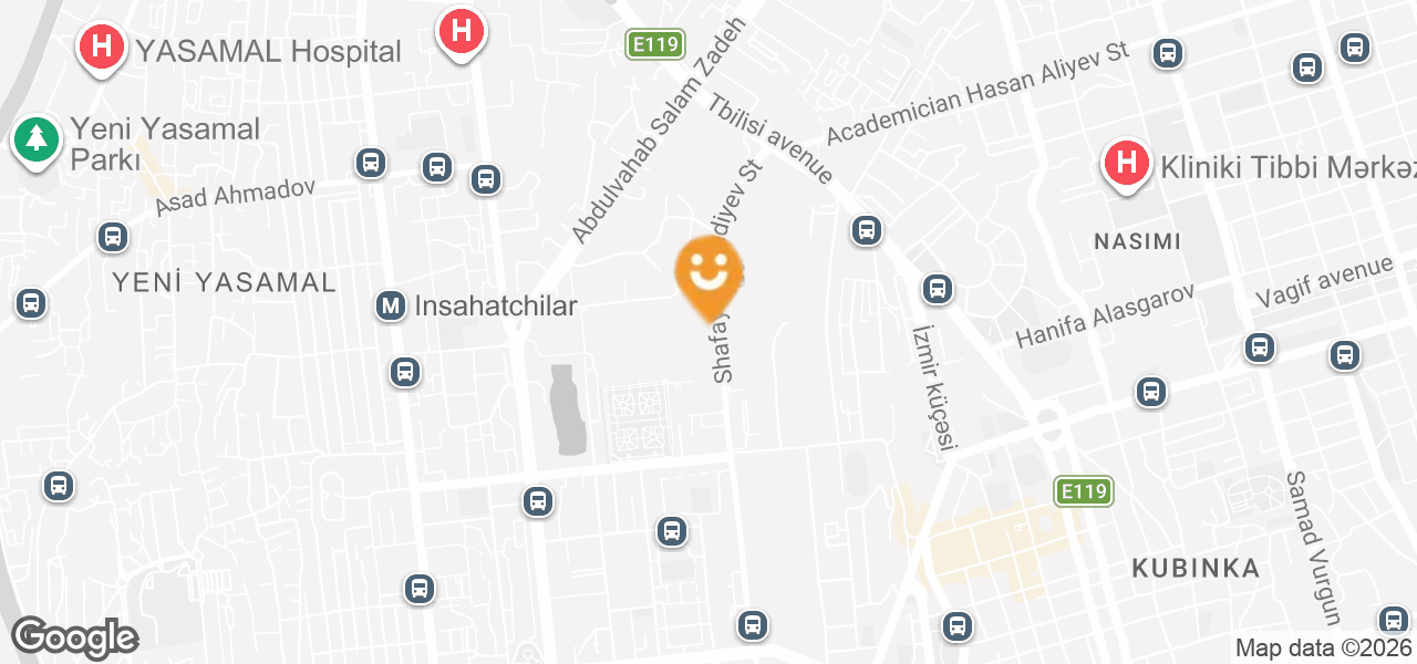
- Baku, Yasamal district, Shafayat Mehdiyev street, 93 A
- (+99412) 432-20-52
- AZ1000
- https://dtxk.gov.az
Routes
No transportation info
TOP 10 places nearby

Leave feedback
The State Committee for Land and Cartography of the Republic of Azerbaijan, known as Azerbaycan Respublikası Dövlət Torpaq və Xəritəçəkmə Komitəsi, is a governmental body responsible for land management and cartographic services in Azerbaijan. The committee plays a crucial role in the development and implementation of land policies, maintaining the national cadastre, and producing high-quality maps essential for urban planning, agriculture, and environmental management. With a commitment to accuracy and efficiency, the committee utilizes advanced technologies to support sustainable land use and provide reliable geographic data to citizens and businesses alike. Whether you're looking for expert land assessment or precise geographical information, the State Committee offers comprehensive services that contribute to the nation's economic growth and infrastructure development.